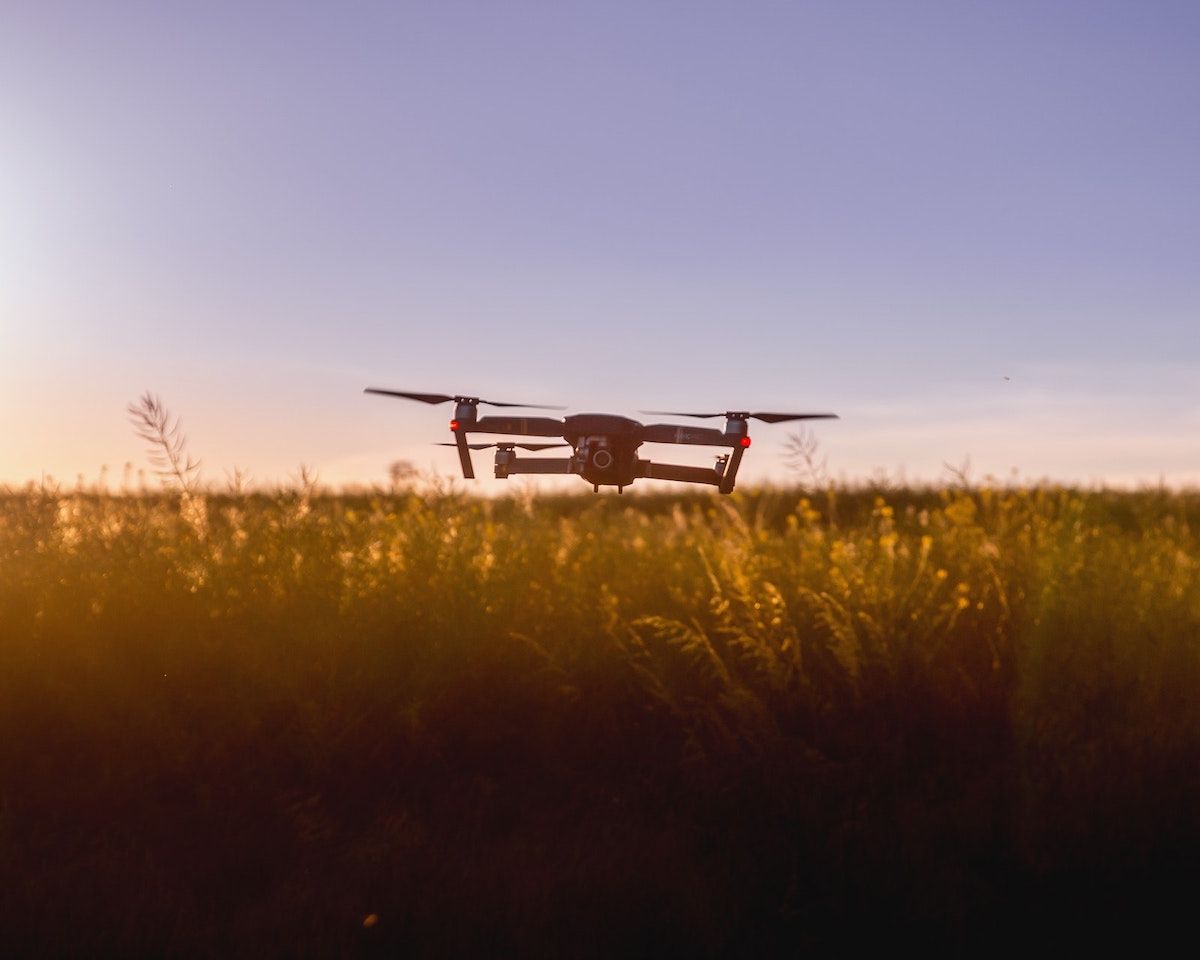
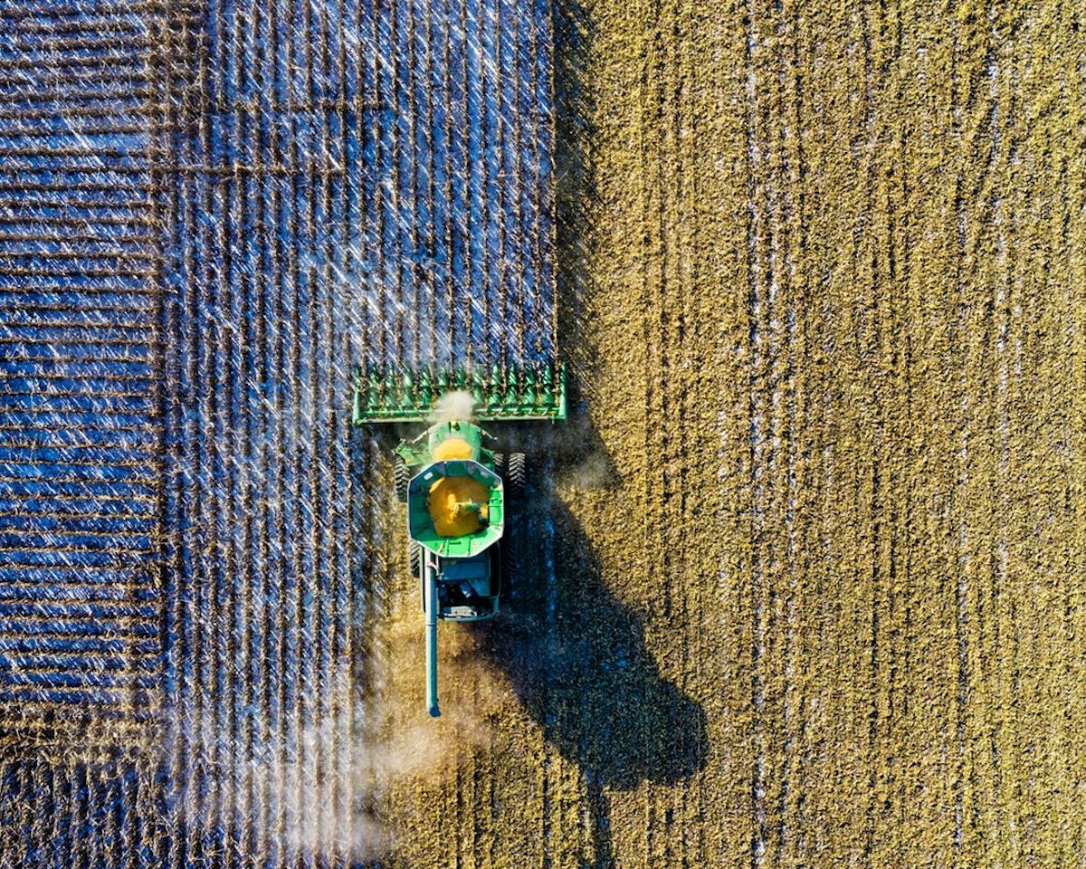
See everything. Miss nothing.
Drone-mounted computer vision system for automated livestock monitoring across vast geographical regions. Real-time tracking and alerts via web portal, available on all platforms.
Explore Features
Machine learning algorithms trained on millions of images for accurate identification, counting, and health assessment of livestock from aerial footage.
Pre-programmed flight paths with obstacle avoidance and automatic return-to-base. Coverage of up to 5,000 hectares per flight session.
Instant notifications for predator detection, fence breaches, injured animals, or herd separation. Push alerts to mobile and desktop.
Comprehensive web portal for flight planning, live video feeds, historical data analysis, and herd management reports.
Automated daily, weekly, or custom schedule flights. Weather-aware scheduling with automatic postponement during adverse conditions.
Full REST API for integration with existing farm management systems. Export data to CycleIQ or third-party platforms.
| Parameter | Specification |
|---|---|
| Flight Time | Up to 45 minutes per charge |
| Range | 15km from base station |
| Camera Resolution | 48MP with 4K/60fps video |
| Thermal Imaging | 640x512 radiometric thermal sensor |
| Operating Temperature | -20°C to 45°C |
| Wind Resistance | Up to 40km/h sustained |
| Data Transmission | 4G LTE / Satellite backup |
| AI Processing | On-board edge computing + cloud |
Contact an authorized LiveView Labs distributor for pricing and availability.
Get in Touch